June 23rd: Trail will be wet and muddy, with slippery sections from recent rain. Creeks and rivers will be running at higher volume.
Be aware of closures in the area and check advisories before you go.
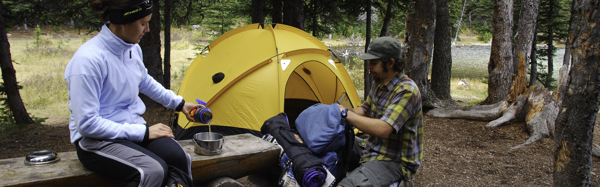
Always come prepared for a variety of conditions, that can change suddenly throughout the day.
Annual Road Closures:
Closures:
Notes:
Warnings:
Ole Buck Mountain: Multiple Cougar sightings
| Trail Name | Permitted Activities (Legend) | Length | Status | Keywords |
|---|---|---|---|---|
| Baldy Pass |
 Biking/Cycling
 Hiking
|
13.7 km or 15.9 km one-way | Open | |
| Baldy-Lusk Pass Connector |
Biking/Cycling
Hiking
 Horseback Riding
|
1.4 km | Open | |
| Cox Hill Ridge |
Biking/Cycling
Hiking
Horseback Riding
|
9 km one-way | Open | |
| Deer Ridge |
Biking/Cycling
Hiking
Horseback Riding
|
6.6 return km | Open | |
| Eagle Hill |
Biking/Cycling
Hiking
Horseback Riding
|
7.4 km one-way | Open | |
| Jumpingpound Loop |
Biking/Cycling
Hiking
Horseback Riding
|
8.5 km | Open | |
| Jumpingpound Ridge |
Biking/Cycling
Hiking
Horseback Riding
|
13.2 km one-way | Open | |
| Jumpingpound Summit |
Biking/Cycling
Hiking
|
2.5 km one-way | Open | |
| Kananaskis Integrated Forestry Interpretive |
Hiking
|
1.7 km | Open | |
| Lusk Pass |
Biking/Cycling
Hiking
Horseback Riding
|
10.2 km one-way | Open | |
| Moose Creek Interpretive |
Hiking
|
3.5 km return | Open | |
| Ole Buck Loop |
Hiking
|
3.6 km return | Open | |
| Pine Woods Interpretive |
Hiking
Horseback Riding
|
3.5 km return | Open | |
| Sibbald Flat Interpretive |
Hiking
|
1 km | Open | |
| Sibbald Reforestation Interpretive |
Hiking
|
1.8 km one-way | Open | |
| Tom Snow |
Biking/Cycling
Hiking
Horseback Riding
|
27.3 km | Open |