June 10th: The trails have mostly dried out due to the warm weather, but there is rain forecasted in the coming days, so plan your days accordingly.
Be bear aware! Wildlife in the region is active. Practice wildlife safety. Travel in groups, make noise on the trail, and keep pets on leash. Carrying bear spray and knowing how to use it is highly recommended.
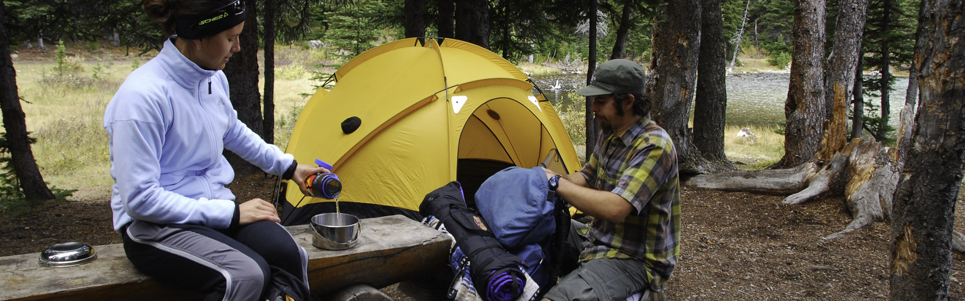
At any time come prepared for a variety of conditions. Bring plenty of water, snacks and multiple clothing layers.
Be aware of closures in the area and check advisories before you go.
Notes:
| Trail Name | Permitted Activities (Legend) | Length | Status | Keywords |
|---|---|---|---|---|
| Balsam Link | 1.3 km | Open | ||
|
Curtains
Curtains are closed |
0.4 km | Closed | ||
| Death Valley |
 Biking/Cycling
 Hiking
 Horseback Riding
|
12.5 km one-way | Open | |
| Death Valley Loop |
Biking/Cycling
Hiking
Horseback Riding
|
2.4 km | Open | |
| Fenceline |
Hiking
|
Open | ||
| Foran Grade |
Biking/Cycling
Hiking
Horseback Riding
|
Open | ||
| Loggers | 4.6 km | Open | ||
| Loggers Connector | 0.5 km | Open | ||
| Long Prairie Link |
Biking/Cycling
Hiking
Horseback Riding
|
0.4 km | Open | |
| Long Prairie Loop |
Hiking
|
Open | ||
| Long Prairie Ridge |
Biking/Cycling
Hiking
Horseback Riding
|
2.2 km | Open | |
| Lookout Connector | 0.6 km | Open | ||
| Macabee Connector | 0.9 km | Open | ||
| Macabee Loop | 3.3 km | Open | ||
| Meadow Connector | 0.5 km | Open | ||
| Meadow Link | Open | |||
| Meadow Loop | Open | |||
| Pine Ridge Connector |
Biking/Cycling
Hiking
Horseback Riding
|
0.2 km | Open | |
| Pine Ridge Loop |
Biking/Cycling
Hiking
Horseback Riding
|
7.6 km | Warning | |
| Sandy McNabb Connector | 0.7 km | Open | ||
| Sandy McNabb Interpretive |
Hiking
|
1.7 km | Open | |
| Sandy McNabb Loop | Open | |||
|
Sheep
Warning: The trail through the private property (located between the north face of Gibraltar Mountain on the south end and Burns Creek on the north end) was heavily damaged in 2013 and is not passable at this time. |
Biking/Cycling
Hiking
Horseback Riding
|
South Section Sandy McNabb to Burns Private Land 27.5 km; North Section: Big Elbow Trail to Burns Private Land 8.6 km | Warning |