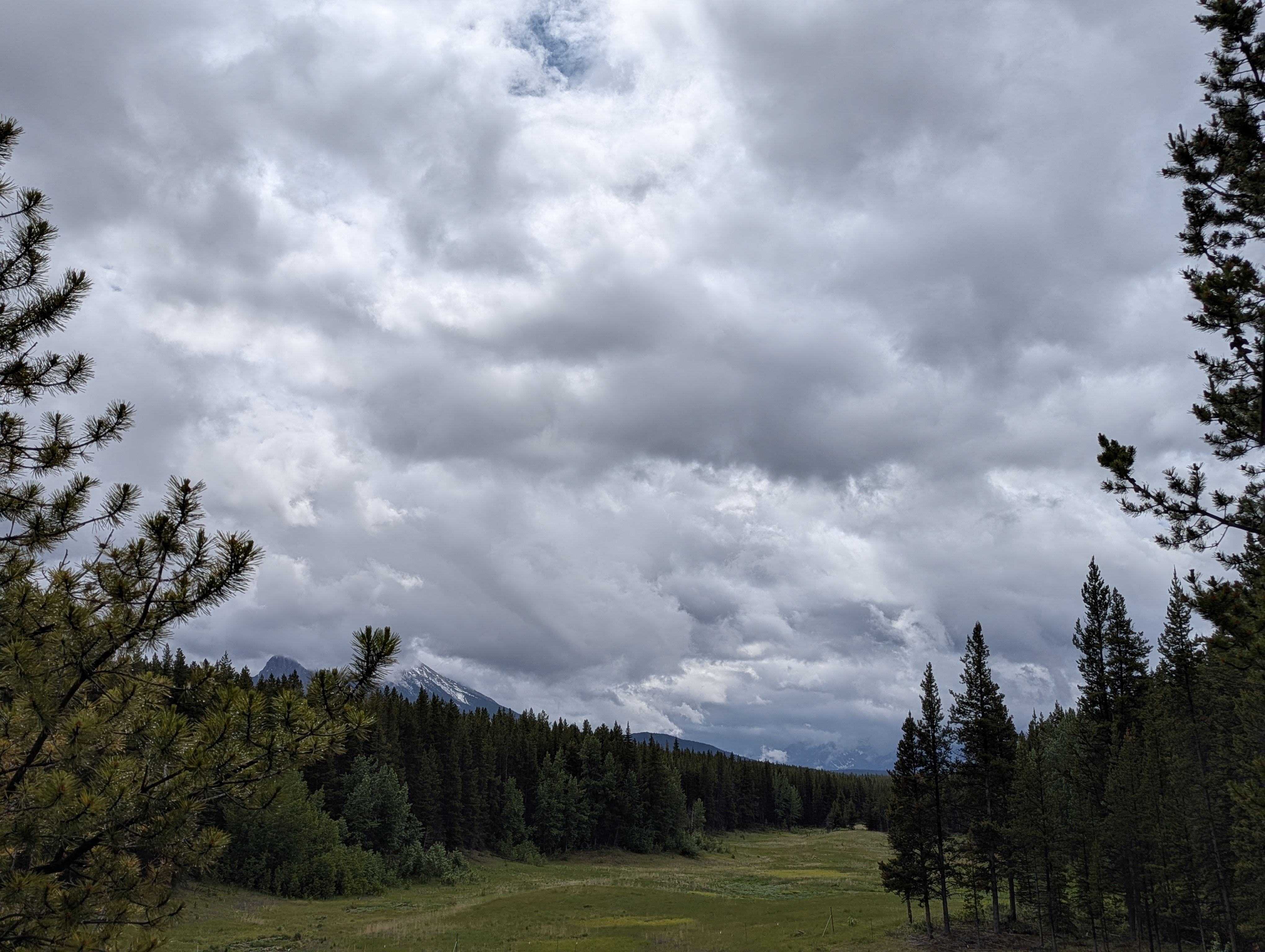
June 27th: Trails will be wet and muddy from recent rain. Expect snow at around 2000m, with some patches lower down.
Expect downed trees due to wet, heavy snow at higher elevations. Travel at these elevations may be difficult until crews can clear trees
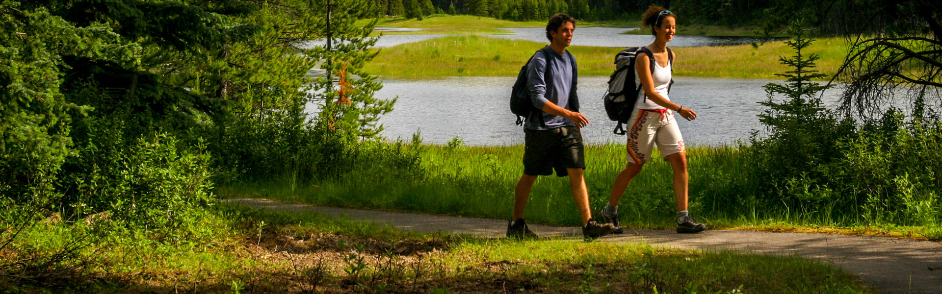
Always come prepared for a variety of conditions, that can change suddenly throughout the day. You may want to consider bringing hiking poles, micro spikes, toques, gloves and multiple layers.
Be aware of closures in the area and check advisories before you go.
Closures:
Notes:
Warnings:
Boulton Creek Campground Amphitheatre: Construction
Burstall Pass Trail: Warning, June 8, 2025, A close encounter and multiple sightings of a grizzly bear near the trailhead.
Bear Warning: Campgrounds in Peter Lougheed Provincial Park
| Trail Name | Permitted Activities (Legend) | Length | Status | Keywords |
|---|---|---|---|---|
|
1982 Canadian Mount Everest Expedition Interpretive
June 19th: Snow free. Downed trees have been cleared. |
 Hiking
|
2.1 km | Open | |
|
Bill Benson
June 18th: Snow free. |
Hiking
|
0.7 km one-way | Open | |
|
Black Prince Cirque Interpretive
Note: The Blackshale Creek Suspension Bridge is NOT accessed from this trail.
|
Hiking
|
4.2 km | Open | |
| Boulton Creek Interpretive |
Hiking
|
4.9 km | Warning | |
|
Burstall Pass
June 27th: The lower portion of trail is snow free with snow patches becoming progressively deeper with elevation, with the some completely snow bound sections near border. Creek levels will be very high. Note: Bikes permitted on first 2.9 km of trail ONLY. |
 Biking/Cycling
Hiking
Biking/Cycling
Hiking
|
7.4 km one-way | Open | |
|
Chester Lake
Chester Lake: Annual closure in place for Chester Lake until Jun 29 to allow area to dry and prevent damage to trail. June 19th: Snow free and downed trees removed. Lake is ice free. Sign changeover complete |
Biking/Cycling
Hiking
|
4.6 km one-way | Closed | |
|
Elbow Lake
June 27th: Significant amount of water on the trails around the lake. |
Biking/Cycling
Hiking
 Horseback Riding
|
1.4 km one-way | Open | |
|
Elk Pass
June 27th: Snow free. Some sections are muddy. |
Biking/Cycling
Hiking
|
5.6 km | Open | |
|
High Rockies
Note: Hiker-cyclist camping allowed at select day use areas only from Jun 1 - Sep 20. See details.
|
Biking/Cycling
Hiking
|
63.0 km Goat Creek to Peninsula Day Use; 80.0 km Goat Creek to Elk Pass | Open | |
| Highwood Meadows |
Hiking
|
0.6 km one-way | Open | |
|
Kananaskis Canyon Interpretive
Closed: Stream crossings washed away by penstock/dam construction. Trail is impassable and is closed indefinitely. |
Hiking
|
0.8 km | Closed | |
|
Lookout
June 24th: Snow covered. Downed trees have been removed. |
Biking/Cycling
Hiking
|
1.7 km | Open | |
| Lower Lake |
Hiking
|
3.5 km one-way | Open | |
| Lower Lake Interpretive |
Hiking
|
0.5 km one-way | Open | |
|
Marl Lake Interpretive
June 24th: Downed trees have been removed. |
Hiking
|
1.5 km for loop | Open | |
|
Maude-Lawson
June 26th: Snow patches remain at higher elevations. Downed trees have been removed. Note: This trail has been redirected just west of Forks for access to Turbine Canyon. |
Hiking
|
7.5 km | Open | |
| Peninsula |
Hiking
|
0.4 km | Open | |
|
Peter Lougheed Paved
|
Biking/Cycling
Hiking
|
12.1 km one-way | Open | |
|
Pocaterra
June 24th: Snow covered along two thirds of the trail. Downed trees have been removed. Note: This is not the undesignated Pocaterra Ridge or Cirque route. |
Biking/Cycling
Hiking
|
9.9 km one-way | Open | |
|
Ptarmigan Cirque Interpretive
June 27th: Expect the trail to be wet and slippery.
|
Hiking
|
4.5 km | Open | |
| Rawson Lake |
Hiking
|
3.9 km one-way | Open | |
| Rock Glacier Interpretive |
Hiking
|
0.15 km one-way | Open | |
| Rockwall |
Hiking
|
0.5 km | Open | |
| Spruce Road |
Hiking
|
0.8 km | Open | |
|
Three Isle Lake
June 27th: Mostly snow free. One large patch of snow is present at the top of the headwall. Downed trees have been removed. Note: Bikes only permitted to Invincible Creek, 3.8 km from trailhead |
Biking/Cycling
Hiking
|
10.2 km | Open | |
| Upper Lake |
Biking/Cycling
Hiking
|
15.7 km | Open | |
| Whiskey Jack |
Biking/Cycling
Hiking
|
3.9 km one-way | Open | |
| William Watson Lodge Access |
Biking/Cycling
Hiking
|
0.6 km one-way | Open |