June 23rd: Trails will be wet and muddy from recent rain. Some snow will exists at higher elevations.
Expect downed trees due to wet, heavy snow at higher elevations. Travel at these elevations may be difficult until crews can clear trees
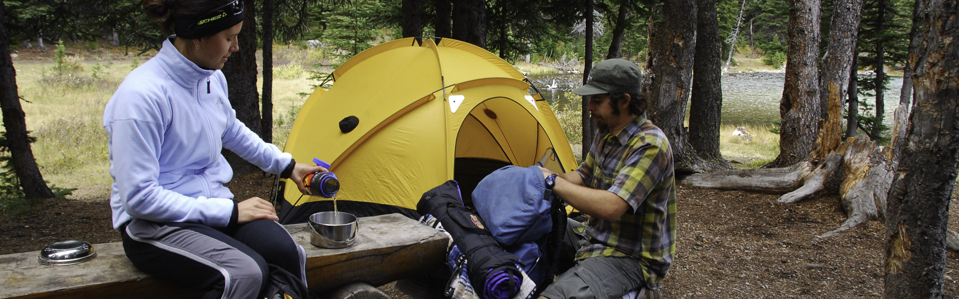
Always come prepared for a variety of conditions, that can change suddenly throughout the day.
Be aware of closures in the area and check advisories before you go.
Closures:
Notes:
Warnings:
| Trail Name | Permitted Activities (Legend) | Length | Status | Keywords |
|---|---|---|---|---|
| Aspen |
 Biking/Cycling
 Hiking
|
1.8 km | Open | |
| Baldy Pass |
Biking/Cycling
Hiking
|
13.7 km or 15.9 km one-way | Open | |
| Barrier Lake Interpretive |
Hiking
|
2.5 km one-way from lower parking area at Barrier Lake Day Use; can be shortened by parking in upper parking lot | Open | |
|
Bill Milne
June 24: Grizzly bear with cub |
Biking/Cycling
Hiking
|
9.7 km one-way | Partially Closed | |
| Centennial Ridge |
Hiking
|
From Ribbon Creek: 6.8 km to Mt Allan summit and 17.5 km to Wind Valley | Open | |
| Coal Mine |
Biking/Cycling
Hiking
|
2.3 km one-way | Open | |
|
Eau Claire Interpretive
|
Hiking
|
1.5 one-way km | Open | |
|
Evan-Thomas Fire Road
No bridge exists over Evan-Thomas Creek to connect to Wedge Connector. Crossing Evan-Thomas creek may be difficult and dangerous at times. |
Biking/Cycling
Hiking
 Horseback Riding
|
14 km one-way to the pass | Open | |
|
Galatea Creek
June 26th: Snow covered at higher elevation |
Hiking
|
6.0 km to Lillian Lake, 1.5 km more to Upper Galatea Lake | Open | |
|
Guinn's Pass
June 26th: Snow covered. Difficult travel |
Hiking
|
1.6 one-way km | Warning | |
| Hay Meadow |
Biking/Cycling
Hiking
|
1.5 km one-way | Open | |
| Hidden |
Biking/Cycling
Hiking
|
1.4 km one-way | Closed | |
| High Level |
Biking/Cycling
Hiking
|
1.4 km one-way | Open | |
| Kananaskis Integrated Forestry Interpretive |
Hiking
|
1.7 km | Open | |
| Kovach |
Biking/Cycling
Hiking
|
5.1 km | Open | |
| Link |
Biking/Cycling
Hiking
|
0.8 km | Open | |
|
Mount Kidd Interpretive
Note: Sections on loop damaged in 2013 flood. |
Hiking
|
1.2 km return | Closed | |
| Prairie View |
Biking/Cycling
Hiking
|
6.6 km one-way to viewpoint | Open | |
|
Razors Edge
Note: If hiking this trail, be aware that bikers may be traveling at speed on downhill sections.
|
Biking/Cycling
Hiking
|
6.6 km one-way to viewpoint | Warning | |
|
Ribbon Creek
Snow covered at higher elevation Note: Chains at the Ribbon Lake Headwall have been replaced with Steel cables and rungs. Note: Bikes are permitted on first 4 km of trail only. |
Biking/Cycling
Hiking
|
8.8 km one-way to Ribbon Falls or 10.8 km one-way to Ribbon Lake Backcountry Campground | Open | |
| Ruthie's |
Biking/Cycling
Hiking
|
0.4 km | Open | |
| Skogan Pass |
Biking/Cycling
Hiking
Horseback Riding
|
From Ribbon: 10.2 km to Skogan Pass, 19.4 km to Wind Valley | Open | |
| Stoney |
Biking/Cycling
Hiking
Horseback Riding
|
22.5 km one-way | Open | |
| Sunburst |
Biking/Cycling
Hiking
|
1.2 km one-way | Open | |
| Terrace |
Biking/Cycling
Hiking
|
9.5 km one-way | Open | |
| Terrace Link |
Biking/Cycling
Hiking
|
1.0 km | Open | |
|
Troll Falls
|
Biking/Cycling
Hiking
|
1.4 km | Open | |
| Upper Troll Falls |
Hiking
|
0.9 km out and back | Open | |
| Village Rim |
Biking/Cycling
Hiking
|
1.3 km | Open | |
| Wasootch Creek |
Hiking
|
1 km one-way | Open | |
|
Wedge Connector
No bridge exists over Evan-Thomas Creek to connect to Evan-Thomas Fire Road. Crossing Evan-Thomas creek may be difficult and dangerous at times. |
Biking/Cycling
Hiking
|
2.4 km one-way | Open | |
| Wedge Pond |
Hiking
|
1 km return | Open | |
| Widowmaker |
Hiking
|
2.0 km one-way | Open |