June 22nd: Expect River and Creek levels to be very high. Be prepared for very slippery and muddy trails. Expect snow at around 1600m, increasing with elevation gain.
Expect downed trees due to wet, heavy snow at higher elevations. Travel at these elevations may be difficult until crews can clear trees
Recent fireguard work has changed the wind profile on affected trails, and may result in an increased likelihood of tree fall and downed trees. Downed trees can happen at any time and any place, particularly in windy areas such as the Bow Valley. Be prepared to turn around, route find or climb over/under fallen trees. Report tree debris and fallen trees to Parks staff.
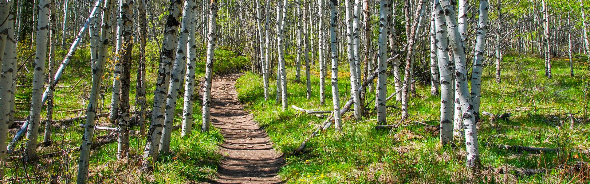
Always come prepared for a variety of conditions, that can change suddenly throughout the day.
Be aware of closures and check advisories before you go.
Notes:
Warnings:
| Trail Name | Permitted Activities (Legend) | Length | Status | Keywords |
|---|---|---|---|---|
|
Bow Corridor Trail
|
 Biking/Cycling
 Hiking
|
7.4 km one-way | Open | |
| Bow River Interpretive |
Hiking
|
2.1 km one-way | Open | |
| Bow Valley Paved |
Biking/Cycling
Hiking
|
4.2 km one-way | Open | |
| Centennial Ridge |
Hiking
|
From Ribbon Creek: 6.8 km to Mt Allan summit and 17.5 km to Wind Valley | Open | |
| Elk Flats |
Hiking
|
1.9 km one-way | Open | |
| Flowing Water Interpretive |
Hiking
|
2.0 km return | Open | |
| Grotto Creek Canyon |
Hiking
|
2.1 km one-way | Open | |
|
Heart Creek Interpretive
|
Hiking
|
1.3 km one-way | Open | |
| Jewell Pass |
Biking/Cycling
Hiking
|
2.9 km one-way | Open | |
|
Many Springs Interpretive
Due to beaver activity the water level in the lake is high. The boardwalk and dock located on the trail are prone to sink into the water slightly. Good, water proof footwear should be worn. |
Hiking
|
1.3 km | Warning | |
| Middle Lake Interpretive |
Hiking
|
2.0 km | Open | |
| Montane Interpretive |
Hiking
|
1.5 km | Open | |
| Moraine Interpretive |
Hiking
|
1.1 km one-way | Open | |
| Prairie View |
Biking/Cycling
Hiking
|
6.6 km one-way to viewpoint | Open | |
Quaite Creek
|
Biking/Cycling
Hiking
 Horseback Riding
|
5.7 km one-way to Jewell Pass | Warning | |
|
Razors Edge
Note: If hiking this trail, be aware that bikers may be traveling at speed on downhill sections.
|
Biking/Cycling
Hiking
|
6.6 km one-way to viewpoint | Warning | |
| Skogan Pass |
Biking/Cycling
Hiking
Horseback Riding
|
From Ribbon: 10.2 km to Skogan Pass, 19.4 km to Wind Valley | Open | |
| Stoney |
Biking/Cycling
Hiking
Horseback Riding
|
22.5 km one-way | Open | |
| Windy Viewpoint |
Hiking
|
5.4 km | Open | |
| Yamnuska Climbers' Access Route |
Hiking
|
2.1km one-way | Open | |
|
Yamnuska East Ridge
Warning: Rockfall hazard exists on this trail, especially in freeze / thaw weather conditions. Be cautious and move quickly through areas with overhead hazard, particularly in the waterfall section of the West Col portion of trail. |
Hiking
|
3.6 km one-way | Warning | |
|
Yamnuska Scramble Route
Warning: Rockfall hazard exists on this trail, especially in freeze / thaw weather conditions. Be cautious and move quickly through areas with overhead hazard, particularly in the waterfall section of the West Col portion of trail. |
Hiking
|
10.2km return | Warning | |
|
Yamnuska West Col
Warning: Rockfall hazard exists on this trail, especially in freeze / thaw weather conditions. Be cautious and move quickly through areas with overhead hazard, particularly in the waterfall section of the West Col portion of trail. |
Hiking
|
4.0 km | Warning |